Hoover Wilderness (Fremont Lake)
Summary of Hoover Wilderness / Fremont Lake trip
September 23 - 24th, 2016
Saturday (9 miles) Drive to Leavitt Meadows Pick up permit from self-serve station Hike south to Fremont Lake via Secret Lake
Sunday (9 miles) Returned via the meadow route
Details We took an overnight trip to Hoover Wilderness in late September with our SiTime friends. Between work schedules, we were limited to an overnight trip, and so the Leavitt Meadows trailhead was a good compromise between distance from the Bay Area and novelty. Although the Twin Lakes trailhead and Barney Lake looked appealing, it would have added at least an hour to the travel time.
With our Tom Harrison map in hand, we drove to Leavitt Meadows and filled out a self-serve permit form. By taking the trip after September 15th, there were not any trail quotas in effect, and the trails were relatively empty.
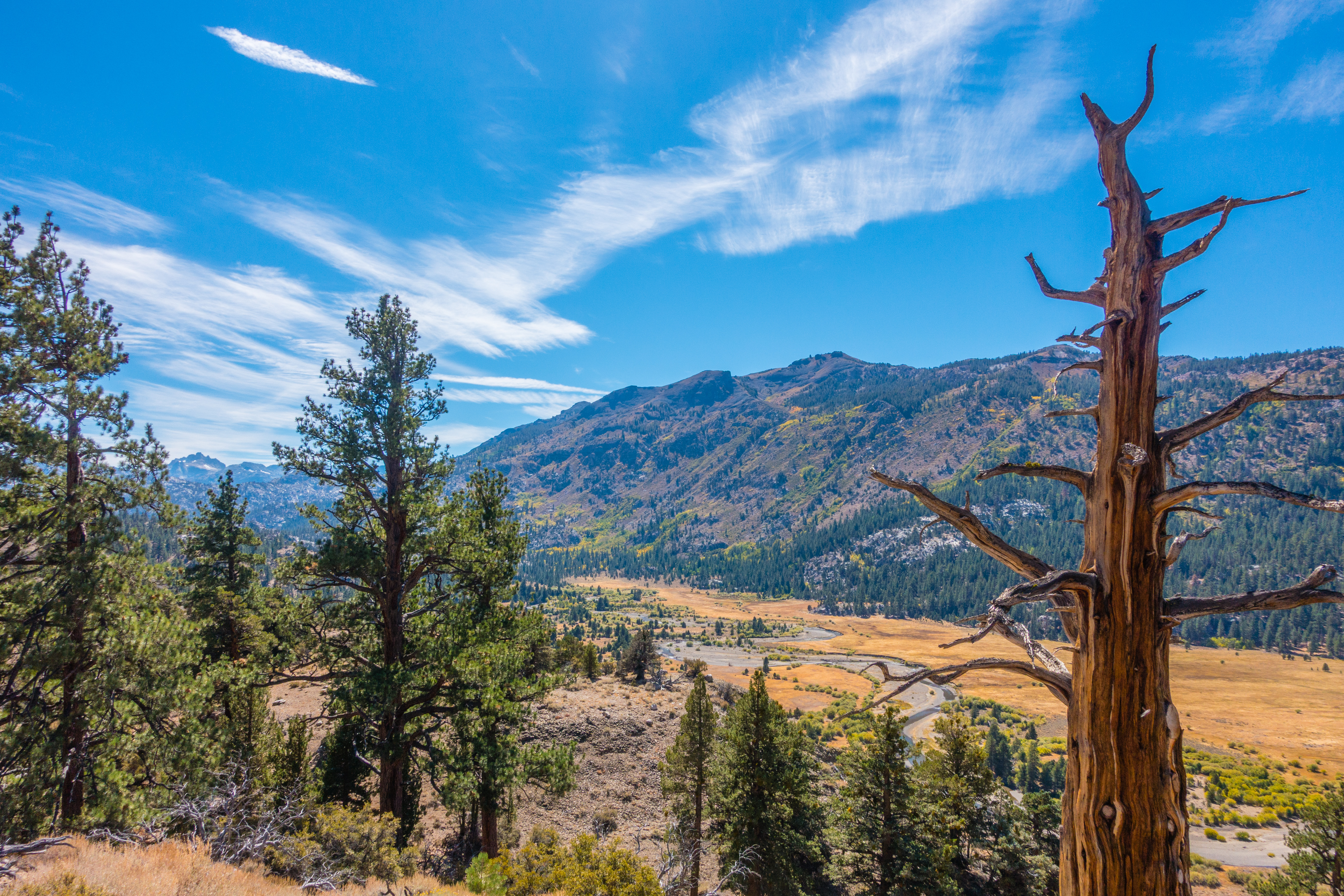
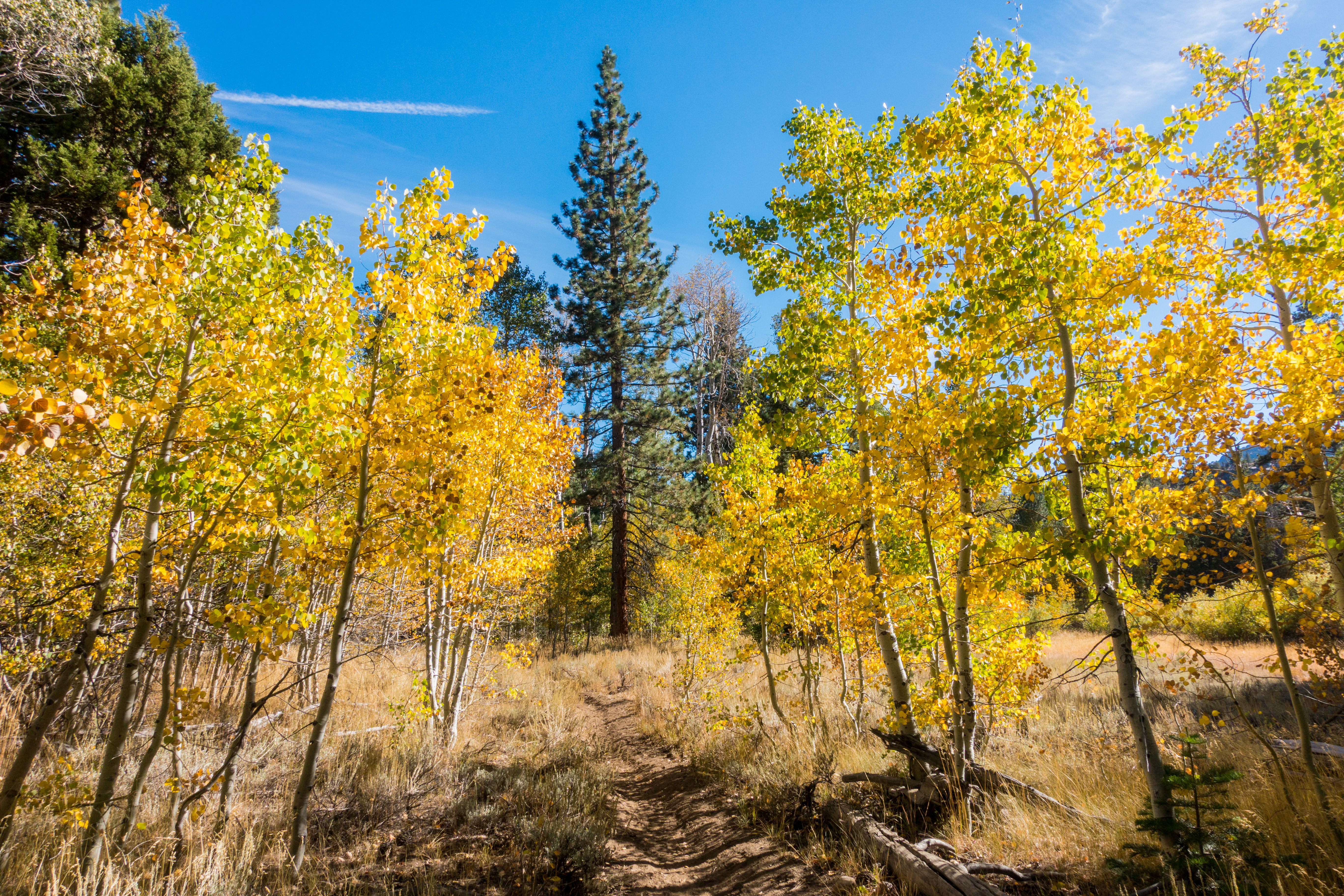
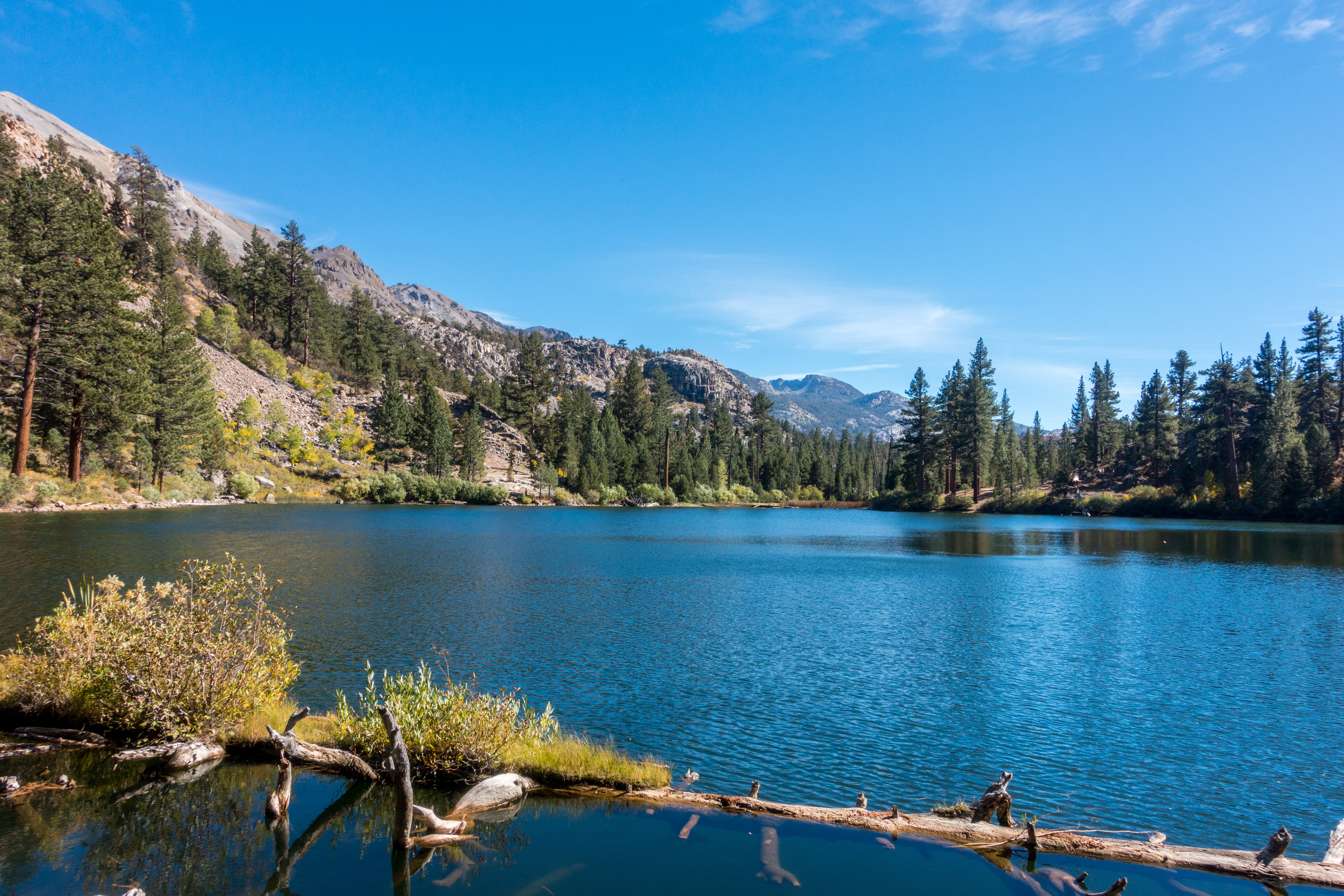
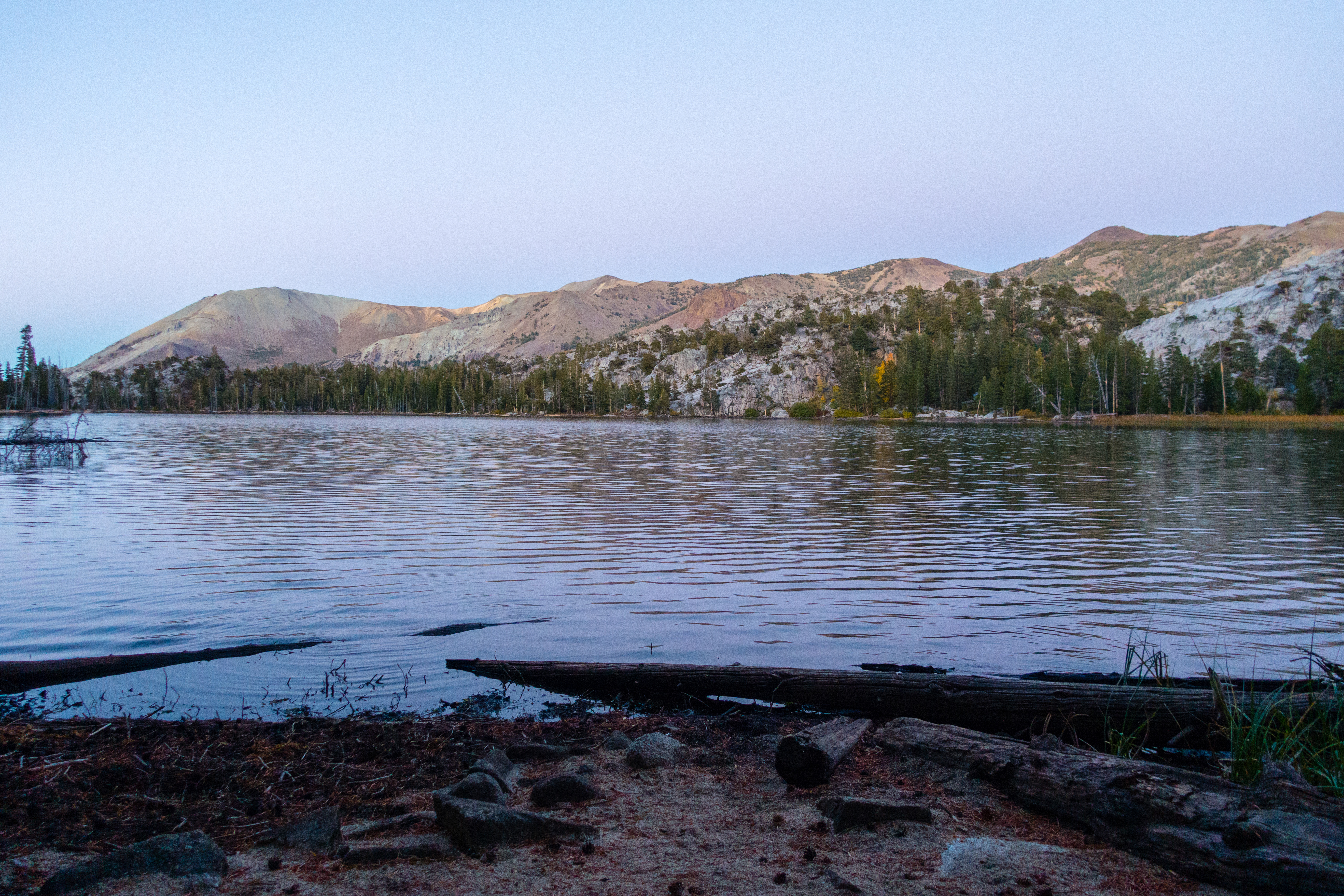
Hoover Wilderness is dog friendly, so long as you do not stray into Yosemite National Park on its southwest border. Accordingly, we brought both Lola and Max on the trip. The trails were relatively dry and dusty, although the temperatures never went far past 70F. The hike to Fremont Lake was relatively flat, with about 1000 feet of net elevation gain. We stopped by three lakes on the way (Secret, Roosevelt, Lane) and crossed the West Walker River after paralleling it for most of the trip.
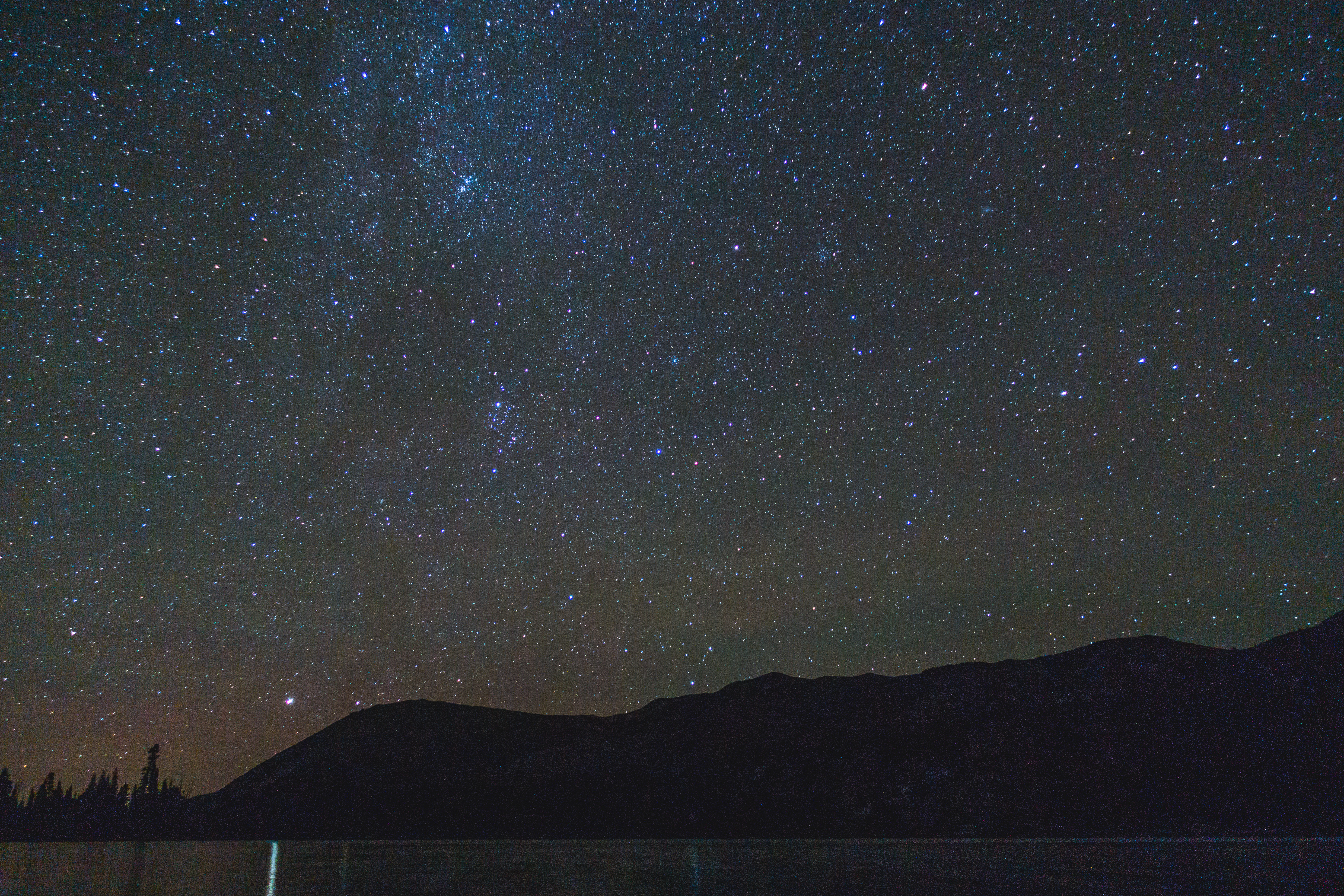
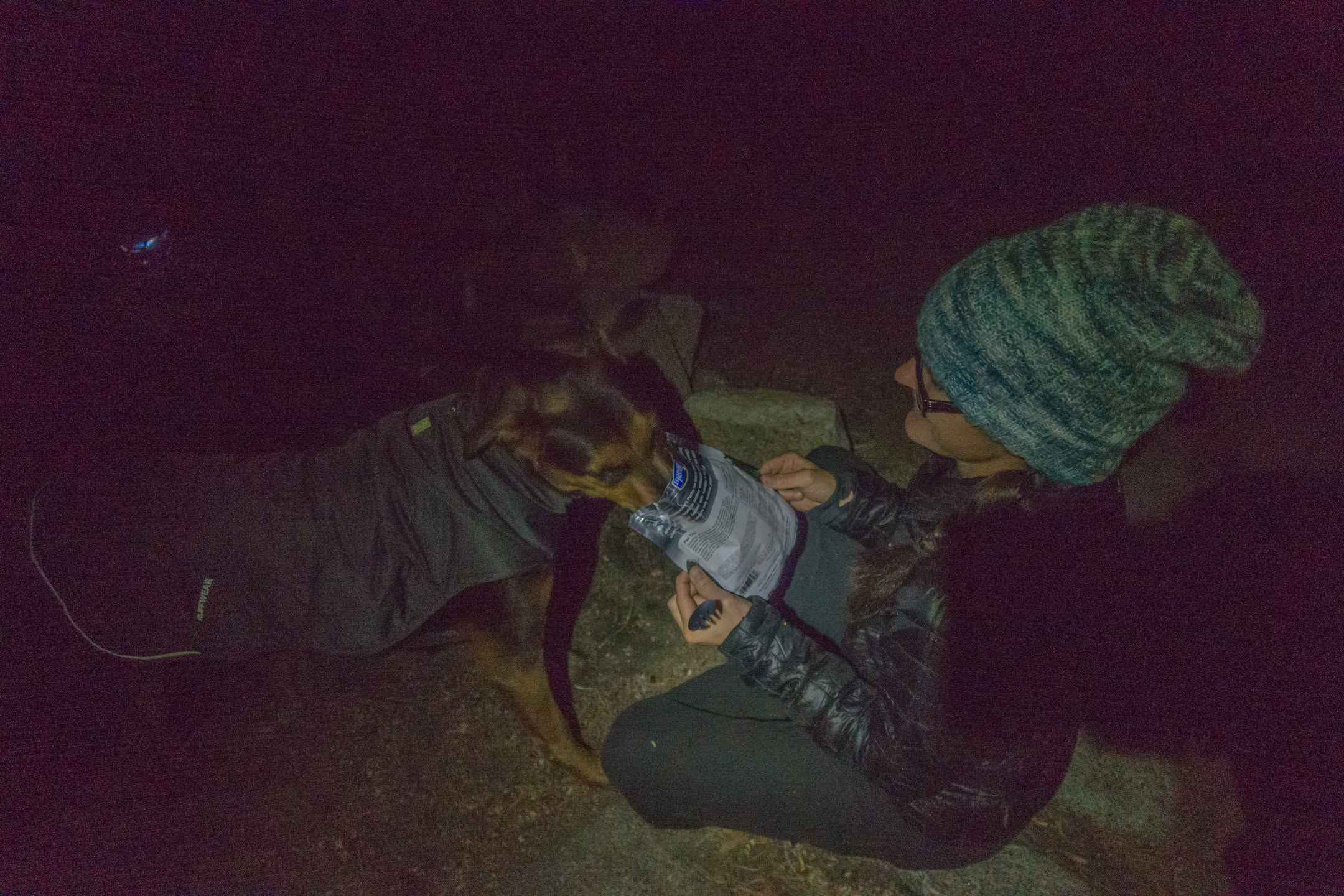
The overnight temperatures were forecast to reach 30F, and so we picked up Ruffwear Quinzee jackets for the dogs. To help with the cold, we also brought our three-person tent (Copper Spur UL3) and an old Thermarest pad. Lola is pushing 10 years old, and upon reaching Fremont Lake she has happy to go hide in the tent to sleep and stay warm. Max, however, used the warmth of the jacket to stay up all night and successfully beg for Pad Thai.
The hike back to the car the next morning was uneventful. The weather was warmer than the day before and we opted to take an alternative route with less shade and fewer lake stops, resulting in slightly overheated dogs and people. I’d recommend sticking to the Secret Lake route for future backpackers.
During the trip, we found that the trail maps used by GaiaGPS (OpenStreeMap-based) were inaccurate, resulting in the use of phones causing more confusion than good. We experienced a similar issue on our Carson Pass trip earlier in the summer. After returning home, I bit the bullet and learned how to edit maps on OpenStreetMap so that future backpackers can safely stare at their smartphones.